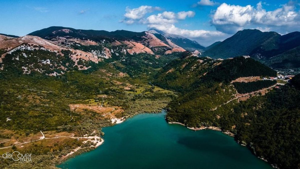
It is an artificial lake, created in the 1960s to power the electricity station of Capriati al Volturno.

It is one of the favourite stopping points in the long spring migration from Africa to Central Eastern Europe on the Tyrrhenian route.

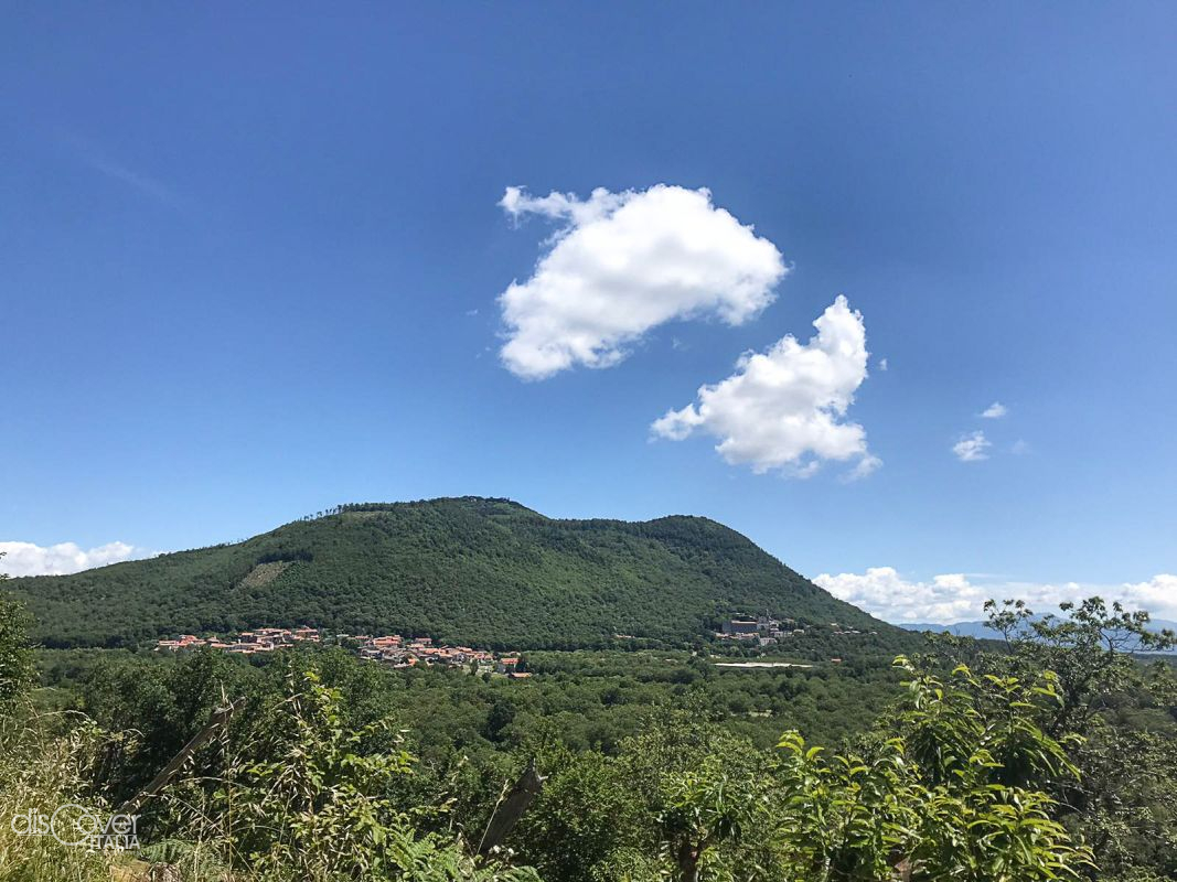
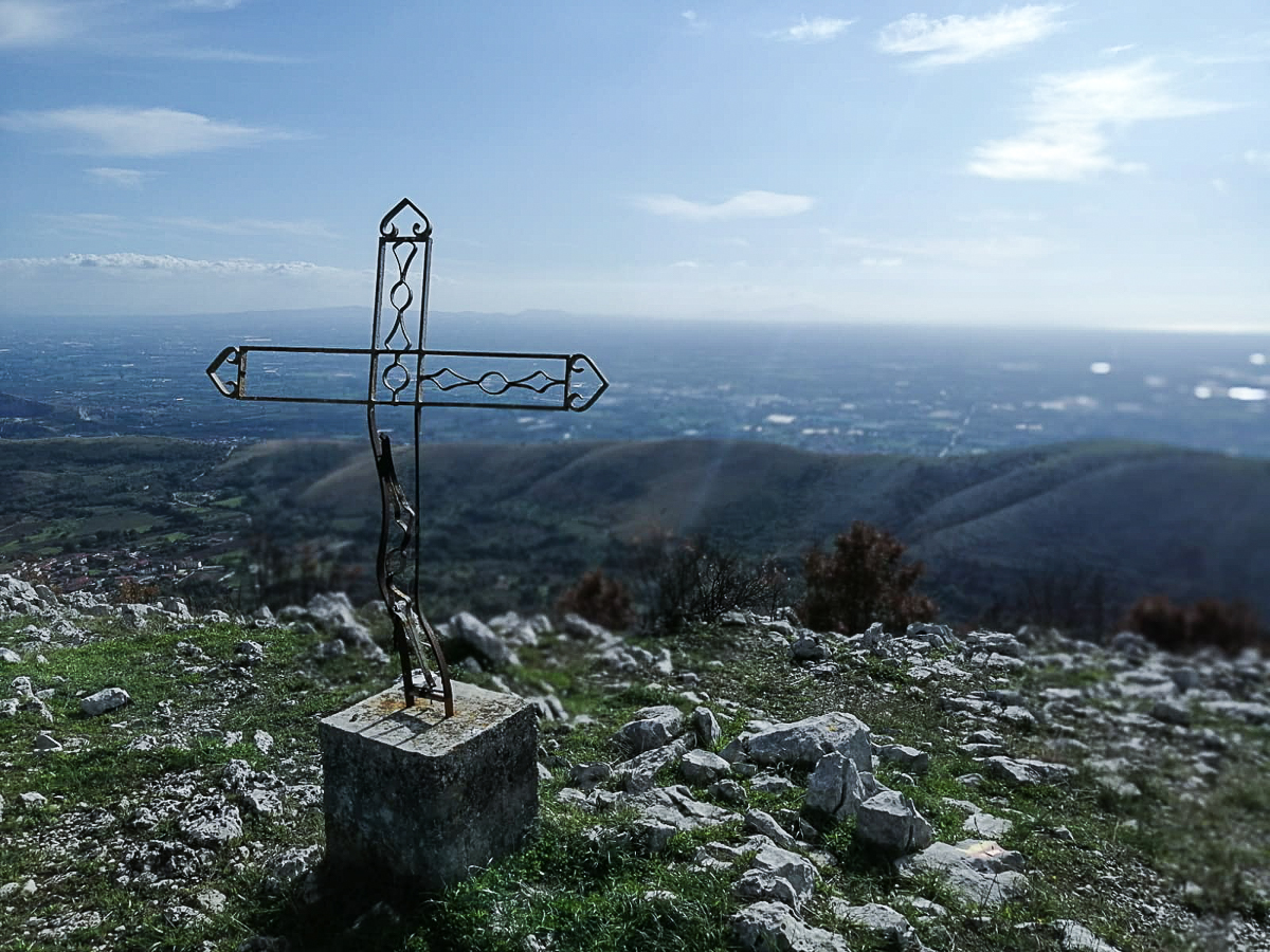
Older than Vesuvius. It is among the biggest of Italy, but extinct since fifty thousand years ago. The Roccamonfina volcano rises isolated between the Aurunci Mountains, in Lazio, and in Campania Felix the plain of Garigliano and the Massico massif, separating it from the Tyrrhenian Sea.
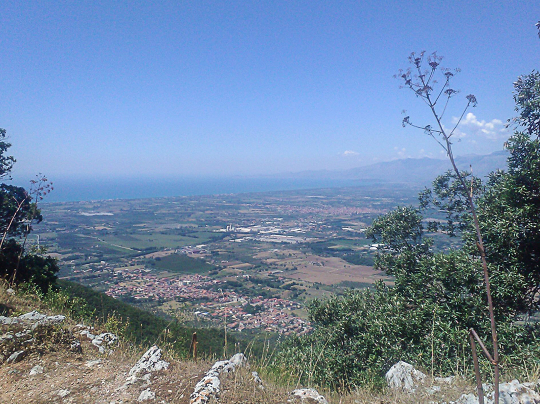
Once known as Lake of Carinola, it is a volcanic lake at the foot of mount Massico, in the municipality of Falciano del Massico.
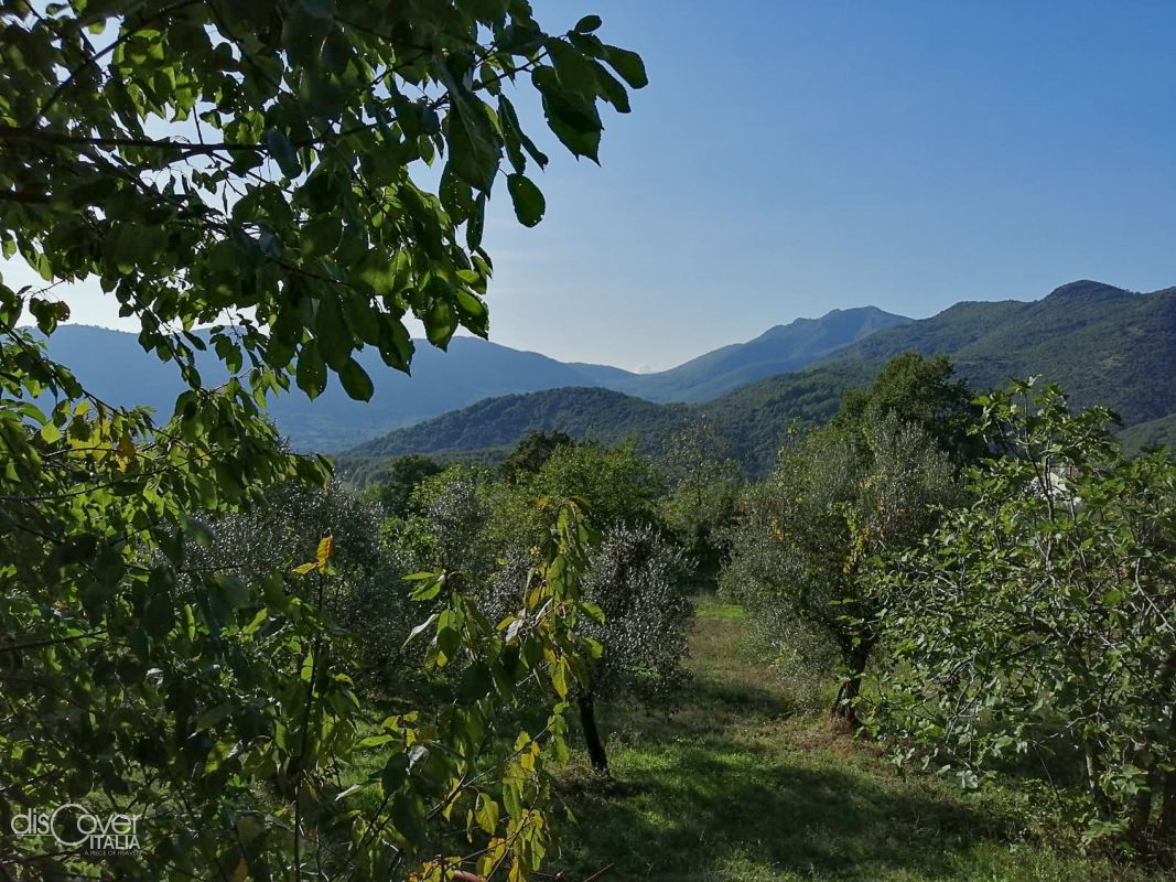
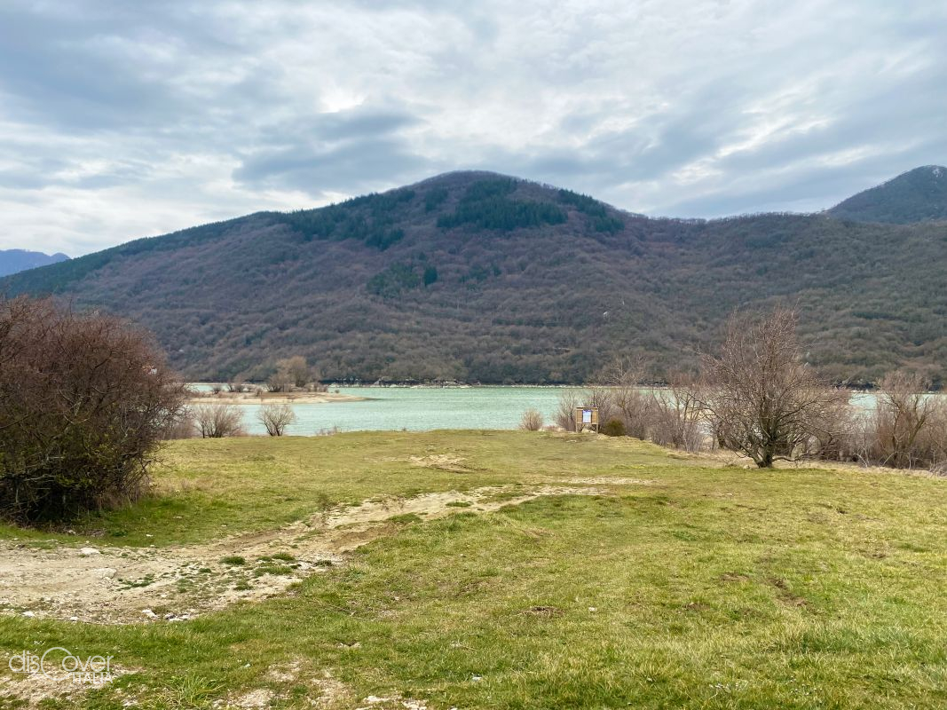
With a surface of just over a square kilometer, the enchanting Lake of Letino was created at the beginning of the twentieth century in order to feed the hydroelectric power station of Prata Sannita.
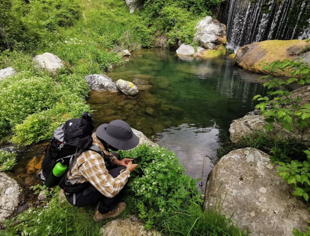
It rises from Lake Matese and in the first part of its way, it is characterised by cascades and differences in heights.
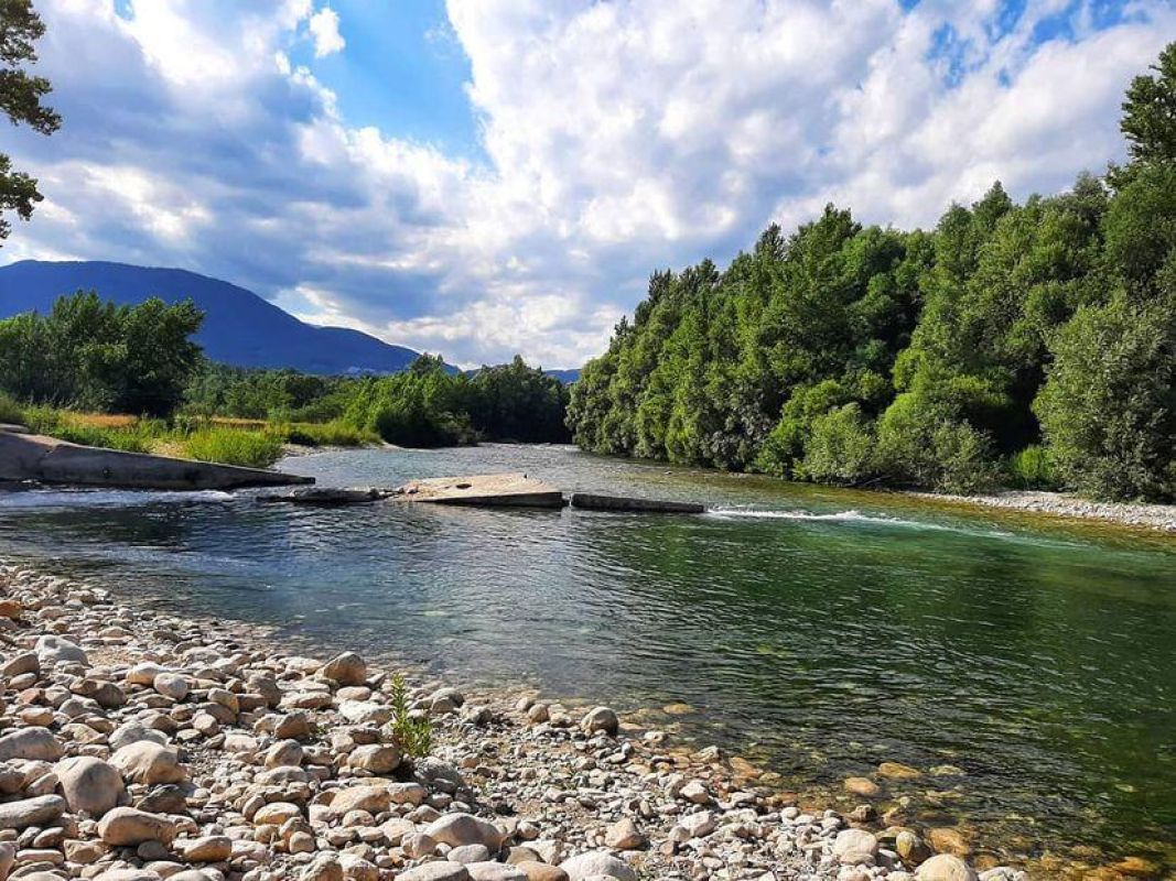
The longest river of Southern Italy with its 175 kilometres rises in Molise, at Rocchetta a Volturno and runs for a long way in the Apennine region, of which, after the Ponte 25 archi, marks the border with Campania.
Copyright © 2026 - All rights reserved. Any type of reproduction, even partial, without permission is strictly forbidden.
![]()
![]()
![]()
![]()